Chart your course
Chartplotter vs Tablet for Sailboat Navigation
Quick answer
The short version
A chartplotter is purpose-built marine hardware, normally fixed, externally powered, and able to connect with boat sensors. A tablet is portable, familiar, and useful for planning or an additional display, but its battery, charging connector, heat limits, mounting, glare, and water resistance need active management. Both are only as useful as their chart data, settings, and operator. Download and update charts before departure, verify the device has position data, and cross-check the display against depth, surroundings, aids, and another source. Choose a primary and an independent backup appropriate to the trip. A consumer navigation app may not satisfy local carriage requirements.
The best screen cannot make an old chart current or a careless route safe. Navigation still means knowing where the boat is, what lies ahead, how position is changing, and how you will notice an error. A fixed plotter and a tablet can show similar chart pictures while failing for different reasons. Compare the whole setup: official data, device, receiver, sensors, power, mount, software, updates, and the person interpreting it. Then plan what happens when the bright screen goes dark.
The two devices trade purpose-built durability and integration against portability and convenience.
| Dimension | Chartplotter | Tablet |
|---|---|---|
| Build | Purpose-built marine hardware | Portable consumer device |
| Power | Runs off the boat's electrical system — long operation, tied to wiring | Internal battery — runtime shortened by brightness, heat, and apps |
| Sensor integration | Can link to depth, heading, wind, radar, AIS | Not every model has its own satellite receiver |
| Environment durability | Sealed connectors, daylight-readable screen, rated for its install | Needs active management of glare, heat, and water resistance |
| Mounting | Fixed at the helm or nav station | Needs a secure mount that can't become a projectile |
| Typical role | Primary display, integrated with the boat | Planning convenience and a secondary or backup display |
How do purpose-built and portable hardware compare?
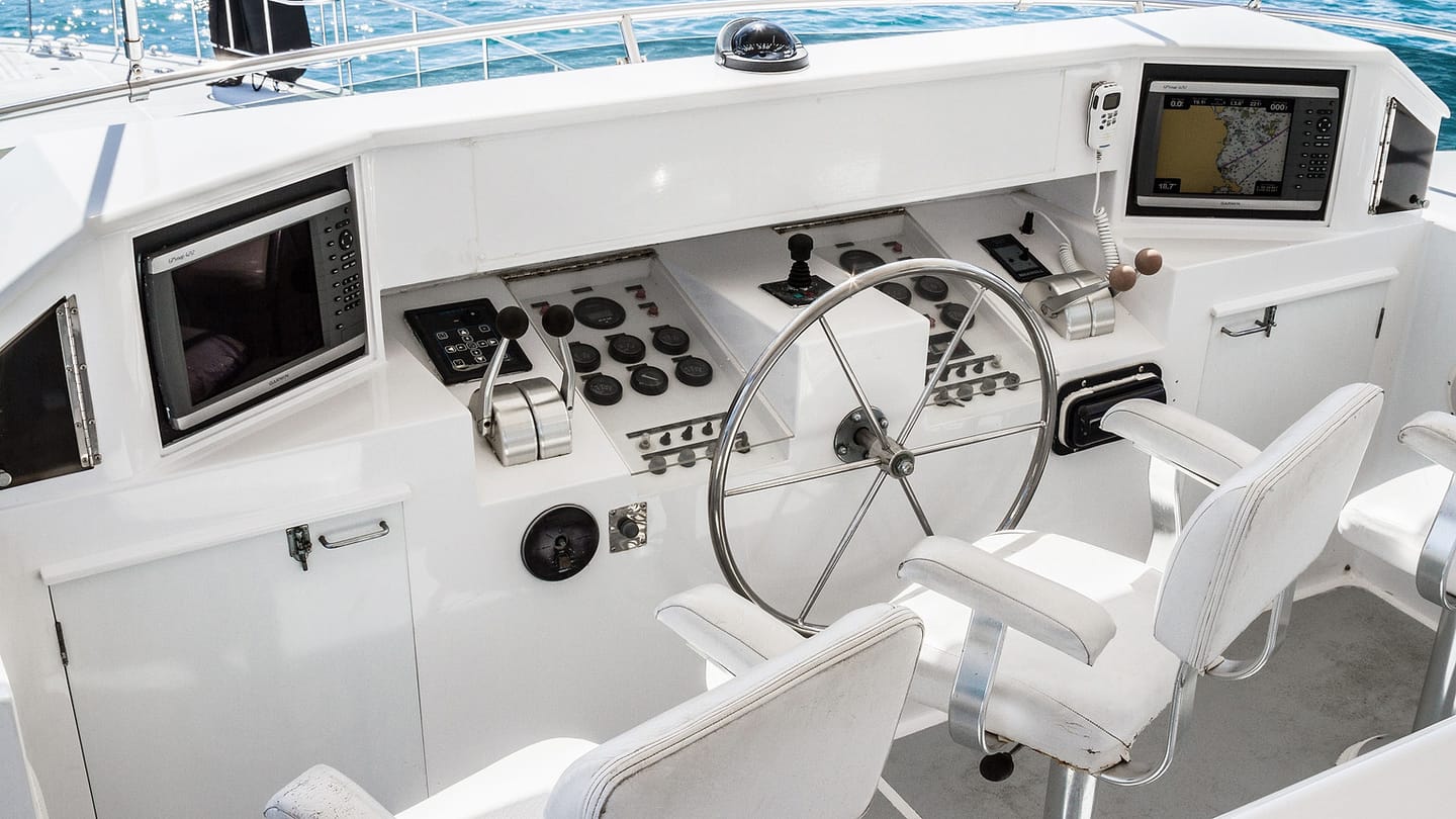
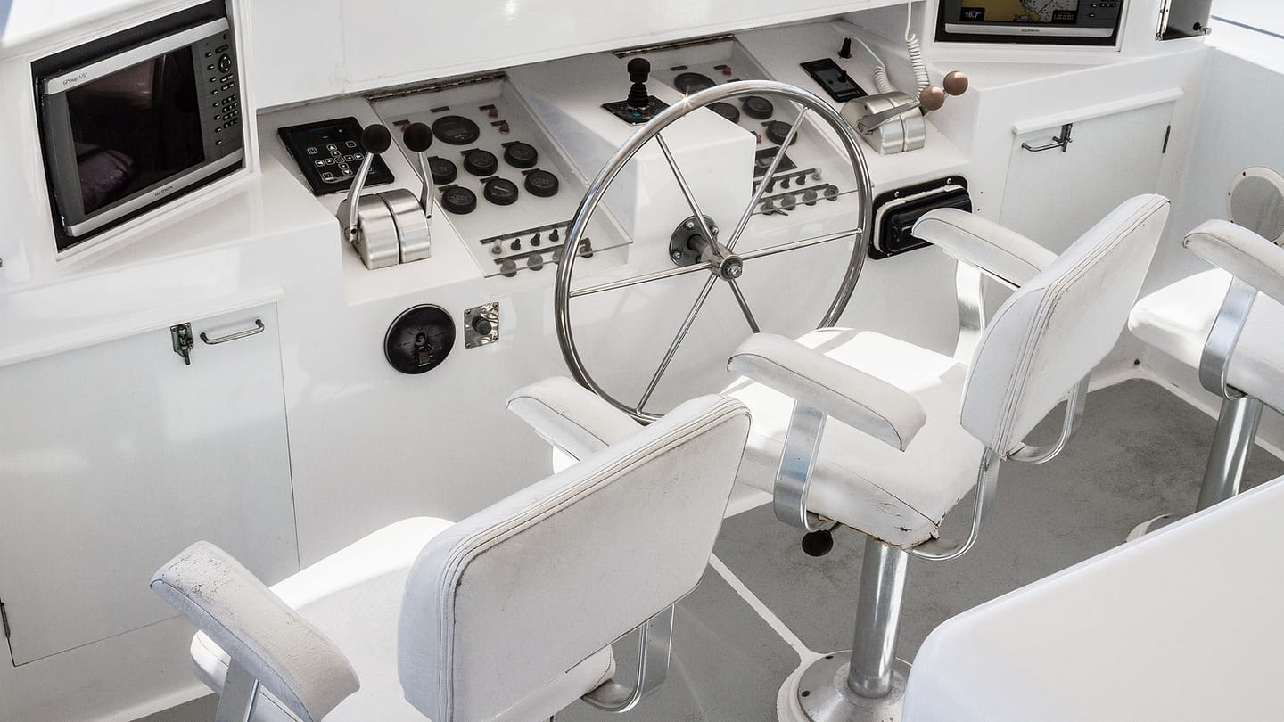
A marine chartplotter is designed for a fixed helm or nav station. Models vary, but installations may use sealed connectors, daylight-readable screens, physical controls, wired power, external antennas, and links to depth, heading, wind, radar, or identification data. Check the exact environmental rating and installation guide rather than assuming every marine display can take any exposure.
A tablet is easy to carry between home and boat. It can make route planning, weather review, manuals, and an extra chart view convenient. Not every tablet has its own satellite receiver, and a Wi-Fi-only model may depend on another device for position. Confirm positioning without network service. Use a mount that cannot become a projectile and does not block the helm or lookout.
What should you check about charts, updates, and settings?
The device is not the chart. Identify the chart producer, coverage, edition or update state, depth units, datum, safety contour, tide source, and any subscription or download rules. Hydrographic offices issue corrections because surveys, hazards, and aids change. Update before a trip and confirm the required area remains available offline.
Learn what symbols and colours mean on the chosen chart. Zooming can hide or reveal detail, so inspect the route at several scales. Check route legs against hazards rather than accepting an automatic route without review. Confirm position source, heading mode, offsets, alarms, and depth-transducer reference. The same wrong setting can look convincing on either a chartplotter or tablet.
Open the chart information panel and note who produced the underlying data. An app brand and a hydrographic office are not necessarily the same source. Check how corrections arrive, what happens when a subscription ends, and whether a downloaded region remains readable after an update. Repeat that check before a longer trip rather than discovering a licence or storage problem after leaving the dock.
Plan for power, weather, and usability
A fixed plotter usually draws from the boat’s electrical system, which gives long operation but ties it to batteries, wiring, breakers, connectors, and charging. Know the consumption and low-voltage behavior. A tablet has an internal battery, yet screen brightness, satellite use, heat, cold, and applications can shorten runtime. Charging from a wet cockpit creates connector and cable problems.
Try each display in sun, rain, darkness, gloves, and a moving cockpit. Capacitive touchscreens may behave poorly when wet. A waterproof case can trap heat or reduce touch response. Set night brightness low enough to protect vision without making the chart unreadable. Keep cables clear of steering and crew movement. Hardware that works at the kitchen table still needs an onboard trial.

Build an independent navigation backup
Compare a setup, not one screen
A useful comparison starts with the whole installation. For the chartplotter, list its chart coverage, installed sensors, power feed, mounting position, controls, and update method. For the tablet, list the app, downloaded chart areas, internal or external position source, mount, case, charging lead, and offline behavior. Two bright screens can look similar at home while behaving very differently in spray, heat, glare, or a rolling cockpit.
Test each item before departure. Open the exact route with the device disconnected from mobile data. Zoom through the scales you expect to use and confirm that the required chart area is present. Check the chart edition or update status through the provider's current process. Make sure position, heading or course information, depth, and any connected sensors are understood rather than accepted because numbers appear on screen.
Power deserves its own trial. Run the normal display brightness and navigation app long enough to see realistic battery use. Check that the charging cable remains secure in the mounted position and that its connector stays protected from water. A tablet that lasts all day on a desk may drain much faster with the screen bright, position services active, and a warm cockpit around it.
Use one device to question the other
Independent backup does not mean placing two identical apps on two devices and assuming the same chart data cannot be wrong. Compare the electronic picture with the view outside, depth, aids to navigation, and another position or chart source suitable for the trip. If both screens use the same chart edition and settings, they may repeat the same omission.
Set a simple cross-check rhythm at course changes, near hazards, and before entering confined water. Confirm position, expected depth, the next safe area, and what you should see outside. If one part disagrees, slow down or stop in safe water while you work out why. The nautical chart guide helps with symbols and depth information, while taking a position fix provides an independent navigation habit.
The decision is often “both,” with clear roles. A fixed chartplotter can be the primary display because it is installed for the marine environment and integrated with the boat. A prepared tablet can add planning convenience and a separate portable display. Either can fail. The safe setup is the one whose charts, power, mounting, controls, updates, and backup you have tested before relying on it.
Questions that expose a weak setup
Can you still navigate if mobile data disappears? Can you read and operate the display in direct sun, rain, and motion? Does the device remain powered for the whole trip with a safe margin? Do you know which chart data and settings it uses? Can another crew member find the route and current position? What will you use if the mount, cable, touch screen, app, position source, or boat power fails?
Run one dockside failure drill. Put the primary display aside and use the planned backup to find the boat, identify nearby hazards, and describe the first safe leg. Then reverse the roles. The exercise often finds missing downloads, unfamiliar controls, flat batteries, or a backup stored where it cannot be reached quickly.
Avoid turning agreement between screens into confidence by itself. Two devices can share the same chart source, settings, or wrong assumption. The surroundings and depth remain independent evidence. If the electronic track crosses water that looks unsafe or differs from expected depth, believe the disagreement and investigate before continuing.
For a first purchase, choose the device whose limitations you can manage. A tablet is not automatically inadequate, and a chartplotter is not automatically complete. Installation, current charts, tested power, readable controls, and an independent backup decide whether either one is ready for the trip.
Decide which device is primary and name its likely failures: lost power, water, heat, damaged connector, receiver fault, frozen software, corrupted chart, or operator error. A second screen using the same power, receiver, and chart account may repeat the same failure. Independence comes from separating the parts that can fail together.
Carry backup charts and position methods appropriate to the water and trip. That may include a second powered receiver, corrected paper chart, compass, depth, visual bearings, or another independently charged device. Keep a rough position and progress record so a failure does not erase your last known situation. Continue looking outside. Land, buoys, soundings, traffic, and water conditions are navigation evidence, not scenery behind the screen.

SailStarter’s chart-reading lesson gives you the language both devices display: scale, depth, contour, symbol, hazard, and position. Work through it, then audit your own setup on one short route. Record chart source and update date, confirm offline coverage, check position and depth references, test the mount and charging plan, and reduce brightness for night use. Turn the primary display off while still in safe water and recover the route with the backup. This drill quickly reveals shared power, missing downloads, unfamiliar symbols, or a cable you cannot use in rain. The better device is the one inside a checked navigation system, not the one with the brightest screen.
Try it from the lesson
Can you spot the next move?
On a NOAA paper chart, you see buff, green, and blue close to shore. What does each colour mean?
Why you can trust this guide
. We build each guide from public seamanship and safety sources, then teach the universal principle before any local difference.