Chart your course
Sailboat Draft and Under-Keel Clearance
Quick answer
The short version
Draft is the vertical distance from the waterline to your boat's deepest point. Under-keel clearance is the water left between that point and the bottom. To estimate it, start with charted depth, adjust for the predicted or observed water level using the same chart datum, then subtract the boat's actual draft and a margin for uncertainty and motion.
There is no single clearance that suits every sailboat and seabed. Loading can change draft, waves can move the hull vertically, and soft mud has different consequences from rock. Use the largest-scale current chart, current water-level information, local guidance, and a conservative margin appropriate to the boat and route.
The arithmetic looks simple, but each number carries a condition. The draft printed in a brochure may not include today's load. A chart sounding is tied to a stated datum, not to the water surface you see now. A tide prediction is an estimate for a named place and ordinary atmospheric conditions.
Treat clearance as a range you manage rather than a magic answer. Write down the source and units for every number. If the margin depends on optimistic assumptions, change the route, time, or plan before you arrive at the shallow patch.
Know the deepest point and today's draft
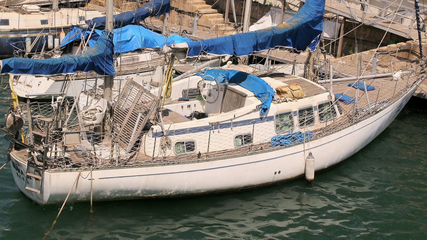
Draft runs from the current waterline to the lowest fixed or lowered part of the boat. On a fixed-keel yacht that is usually the keel bottom. On a centerboard or lifting-keel boat, the draft changes with the board or keel position. Rudders, propellers, and transducers may also matter.
Confirm the boat's specification and whether it describes light, design, or loaded condition. Fuel, water, stores, crew, and equipment sink the hull farther. Trim can make the bow or stern deeper even when average displacement is unchanged.
Use the deepest credible value for planning. Record it in both metres and feet if your charts, instruments, or crew use mixed units, and avoid doing a hurried conversion near the hazard.
Recheck after a haul-out or equipment change. A new transducer, skeg repair, or lowered appendage may become the deepest point. The number belongs to the boat as currently configured, not to an old sales sheet.
Read charted depth against its datum
Charted soundings show depth relative to the vertical datum named on that chart. The real water surface can be above or, in some conditions, below that reference. Tide tables and water-level products also name a station and datum.
Use the largest-scale current chart suitable for the area and read its notes, units, and source quality. A single sounding describes one measured point. Contours and surrounding soundings help you understand the broader shape, but they do not prove that no isolated obstruction exists.
Relate every correction to the same datum. Adding a tide height from one reference to a depth expressed against another can produce a neat but meaningless total.
Check the sounding symbol and contour rather than reading one number in isolation. The route between soundings may cross rising ground. Keep the planned track in water whose surrounding evidence supports the depth you need.
Build the clearance calculation step by step
Begin with the charted depth at the planned position. Apply the predicted or observed water-level correction only after confirming its sign, time zone, station, units, and datum. The result is your estimated water depth for that time.
Subtract the boat's deepest draft. What remains is estimated static under-keel clearance. Then reserve a margin for uncertainty: chart age and survey quality, water-level error, waves, squat where relevant, trim, instrument offset, and how accurately you can hold the route.
Do not hide the margin inside the other numbers. Keeping it separate makes the decision auditable. If any input is uncertain, use the conservative end or obtain better information.
Write the time beside the calculation. A correct estimate for departure can be wrong at arrival when the water level is falling. Recalculate for the shallowest point at the time you expect to reach it.
Decide whether the remaining margin is credible
Separate every input and its uncertainty
Write the calculation as individual lines: charted depth at the position, predicted tide height relative to the chart datum, any observed or forecast water-level difference, boat draft in its current load, squat or heel effect where relevant, wave allowance, and the margin you choose. If one number is unknown, mark it unknown rather than hiding it inside the answer.
Confirm chart units and sounding datum from the chart. Confirm that the tide information uses a compatible reference. A positive tide height can be added to charted depth only when the references and sign are understood. Local pressure, wind, river flow, and other conditions can make actual water differ from prediction.
Boat draft can change with load and trim. Use the deepest fixed or lowered appendage in its current state. A centerboard, daggerboard, rudder, saildrive, propeller, or transducer may set the limiting depth rather than the hull. Keep the value with the boat's normal and heavy loading notes.
Test the route, not one point
Check the shallowest part of the approach and the water expected when you will cross it. Include the entire swept path of the keel through turns rather than placing one electronic position on one sounding. Chart scale, survey quality, shifting bottom, and position accuracy all affect how closely a plotted line represents the seabed.
Use depth sounder information within its offset and installation limits. Know whether the display reads below transducer, below keel, or total water depth. Compare it with known water before relying on the number. A wrong offset can remove the margin while the display still looks precise.
The tide-table guide covers timing and predicted height, while choosing an anchorage applies clearance through a full tidal stay.
Decide what makes the margin believable
A credible margin accounts for input uncertainty and the consequences of touching bottom. Soft mud in calm protected water is different from rock in waves, but neither changes the boat's actual draft. Increase margin when charts are old or small-scale, water levels are uncertain, waves are larger, the boat can squat or heel, or an escape route is poor.
State a no-go value before the approach. Monitor depth and water level, and turn around while there is room if observations do not match the plan. The calculation is a decision tool, not permission to continue until the sounder equals draft.
A compact example without invented numbers
Take the charted depth for the shallowest planned point. Adjust it with the predicted tide height only after checking datum, units, place, date, and time. Subtract today's deepest draft. What remains is not automatically safe clearance: wave troughs, squat, heel, water-level error, chart uncertainty, sounder offset, and bottom hardness still need allowance.
Write “go” only if the remaining margin fits those conditions and the boat's operating guidance. Write the turnaround depth and latest time beside it. During the approach, compare observed depth trend with the planned trend. If depth falls earlier or faster, leave before reaching the minimum.
This method avoids false precision. The arithmetic may be exact while several inputs remain uncertain, so the final decision must carry that uncertainty openly.
Bottom type changes consequences. Soft mud may be more forgiving than rock, but either can stop the boat, damage equipment, or leave it exposed as water falls. Waves and wakes can momentarily reduce clearance even when the average water level is adequate.
Compare the calculation with the depth sounder, but first know whether its offset reports depth below the transducer, below the surface, or below the keel. An unexplained offset can reverse the meaning of a reassuring number.
Keep an escape plan. Slow down, watch the trend, and turn toward known deeper water before the margin disappears. If the route works only at one precise minute or with every assumption favorable, wait for more water or choose another route.
Depth alarms support this plan only when their reference is understood. Set an alarm with enough time to turn, and investigate a steady shoaling trend before it reaches the threshold. An alarm is a prompt, not permission to continue.
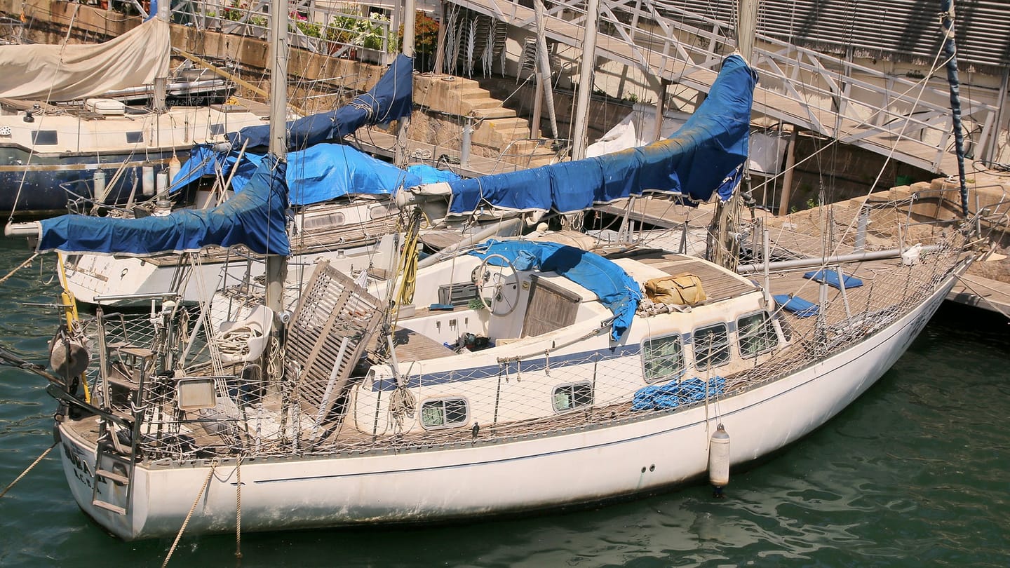
SailStarter's depths-and-tides lesson shows how soundings, contours, and water level fit together on a chart. Use it to make a small worksheet for your own boat: deepest draft, depth-sounder offset, chart units, local datum, and the margin your skipper uses for a given route. Then test the process in well-charted water where ample depth remains. The goal is not to skim the bottom. It is to make every assumption visible early enough that a safer time or route is still easy to choose.
Try it from the lesson
Can you spot the next move?
It's been blowing a strong onshore wind all day, and the barometer has dropped a lot. Should you trust the tide table's predicted height exactly?
Why you can trust this guide
. We build each guide from public seamanship and safety sources, then teach the universal principle before any local difference.