Chart your course
Clouds That Mean Bad Weather Is Coming
Quick answer
The short version
Four sky pictures are worth knowing on sight, because each one tells you something different about what's coming. Puffy, flat-based cumulus clouds mean nothing is changing. That's what a stable sky looks like. A tall cumulus whose top flattens and spreads into an anvil has become a cumulonimbus, the only cloud that produces hail, thunder, and lightning, and it's worth recognizing well before the first clap of thunder. Thin cirrus thickening into a hazy cirrostratus veil, sometimes visible only as a ring of light (a halo) around the sun or moon, is an early sign a front is on the way. A uniform, featureless grey deck means that front's rain has already arrived. None of this replaces checking a marine forecast; it's simply what you can read with nothing but your own eyes.
A forecast tells you what's expected before you leave the dock, and the water itself keeps giving you a live read once you're out. The sky is a third source, and it's the only one that needs nothing but looking up. There's no signal to lose, no instrument to check, and no update to wait for. Clouds don't jump straight from clear to stormy; they move through recognizable stages, and each stage buys you a bit more warning before the change actually reaches you. Learning to read those stages means noticing four specific pictures, not memorizing cloud names, because those four cover the sky-reading a sailor actually needs. Pair this habit with how to read a marine forecast, so the sky confirms the plan rather than standing in for it.
Fair-Weather Cumulus: The Sky That Isn't Warning You
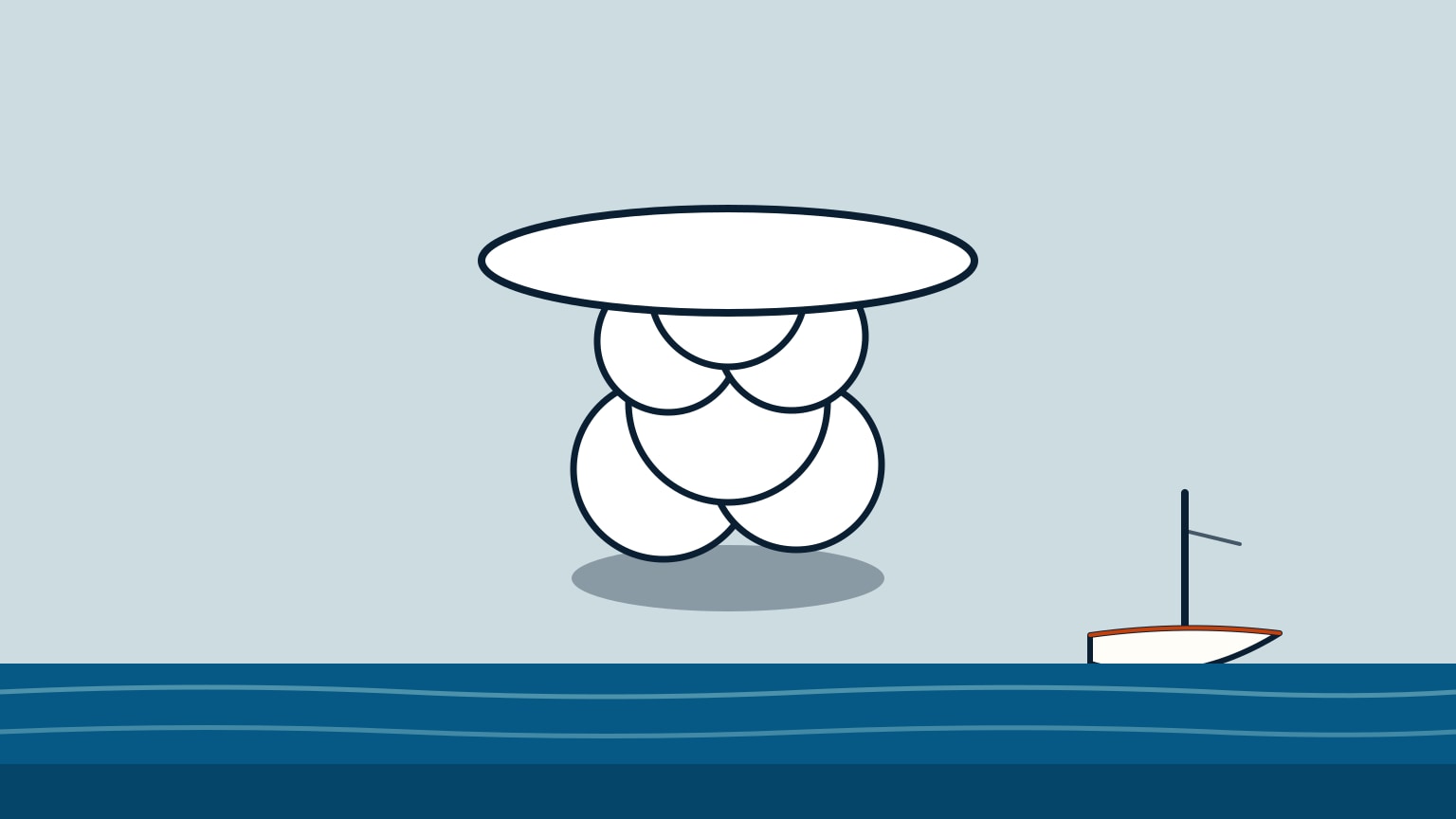
Puffy, sharp-edged clouds with a flat, relatively dark base and a brilliant white, sunlit top are what a stable sky looks like. The World Meteorological Organization describes cumulus as clouds whose "bulging upper part often resembles a cauliflower," with sunlit parts "mostly brilliant white" over a base that's "relatively dark and nearly horizontal." The UK Met Office reads the same shape the same way in plain language: cumulus like this "mostly... indicates fair weather," often popping up on bright, sunny days.
These clouds form, drift, and generally don't build into anything on their own. A sky scattered with them isn't a cue to change your plan, reef early, or head for shelter. It's the baseline picture everything else here gets compared against. The clue that matters isn't height. A cumulus cloud can grow tall and still be nothing to worry about; what turns it into a warning is what happens to its top, which is the next picture.
The test is simple, and it holds even when a cloud looks unusually tall for the day. Watch the base and the top as separate things. A stable cumulus keeps a flat, dark base and a rounded, sunlit top no matter how much it grows for a while. The moment that top stops staying rounded and starts spreading sideways, it has crossed into the next picture, and that shift is worth catching on sight rather than guessing at from memory.
The Anvil Top: When a Cumulus Becomes a Thunderstorm Cloud
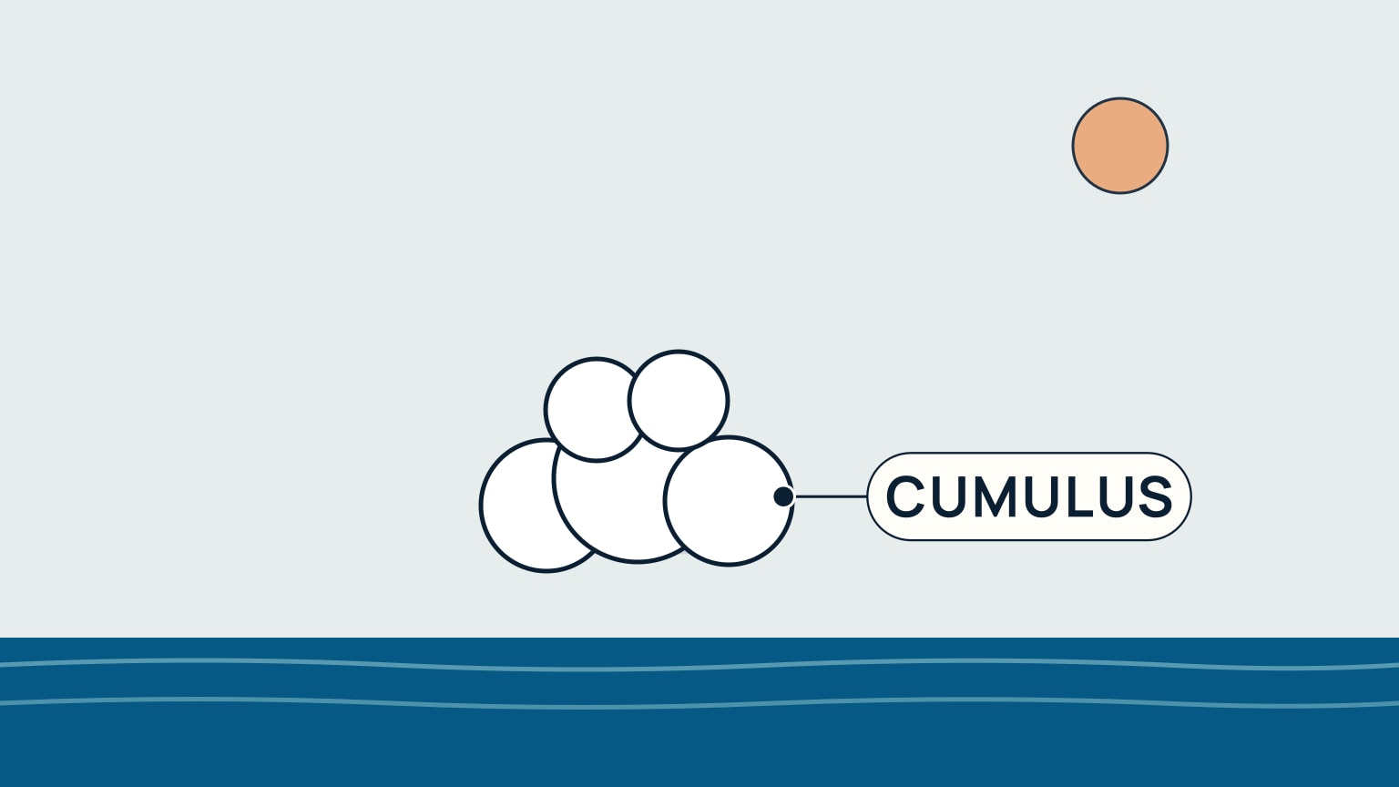
A cumulus cloud that keeps growing taller isn't a warning by itself. The US National Weather Service's own glossary defines "towering cumulus" as a large, cauliflower-like cloud "lacking the characteristic anvil of a Cb." The anvil is the tell. Once a tall cumulus stops staying rounded and its top spreads out flat and wide, it has become a cumulonimbus: clouds the UK Met Office describes by their "towering height and icy, anvil-shaped tops," adding that cumulonimbus is "the only cloud type that can produce hail, thunder and lightning."
That's why the anvil, not the thunder, is the moment to notice. Waiting to hear thunder means waiting for a storm that has already built overhead; the flat, spreading top is visible well before that, while there's still time to act. Recognizing it is this article's job. What to actually do once a cumulonimbus is genuinely close, from early reefing to riding out a gust front, is covered in Sailing in a Squall.
Why the Anvil Earns More Than a Glance
Cumulonimbus isn't only a shower cloud. The same tower that produces hail and lightning can also bring squally gusts, heavy rain, and, rarely, a tornado. None of that has to happen for the anvil to matter. The shape alone is the cue to start planning your retreat, not the weather that shows up afterward. Lightning Safety While Sailing covers what changes once you can hear or count the thunder, which is a later and more urgent stage than simply spotting the anvil.
The Halo Around the Sun: A Front Is Likely Within a Day
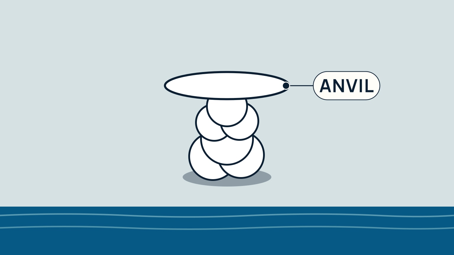
High, thin cirrus that thickens into a hazy cirrostratus veil is an early sign a front is coming. Sometimes the only visible clue is a halo, a ring of light around the sun or moon, showing through the haze. The World Meteorological Organization defines cirrostratus as a "transparent, whitish cloud veil... often producing halo phenomena," and the UK Met Office adds the practical read: cirrus clouds "often appear ahead of weather changes."
Cirrus alone is easy to miss, since a few thin white streaks high overhead can look like nothing more than jet trails. What separates a real warning from ordinary high cloud is what happens to those streaks next. Once they stop staying as separate wisps and spread into one continuous, hazy veil, especially if a halo starts showing through it, that veil has become cirrostratus. It sits high, roughly 20,000 to 40,000 feet (6,000 to 12,000 meters) up, well above anything else in the sky that day, which is part of why it's easy to overlook if you aren't in the habit of checking.
One national met service puts an actual number on the timing rather than leaving it vague: "If cirrostratus nebulosus exists in the sky it is likely that an incoming warm front will bring persistent rain within a day." That's a single source, not a universal law of the atmosphere, so treat it as an honest early warning worth planning around (a good moment to pull up a fresh forecast) rather than a countdown you can set your watch to.
The Grey Deck: The Front Has Already Arrived
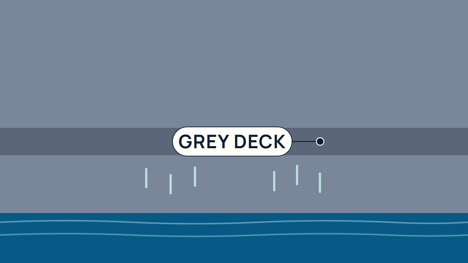
By the time the sky has lowered into one uniform, featureless grey layer, the front the halo warned about has arrived. That grey deck starts as altostratus (a "greyish or bluish cloud sheet," per the World Meteorological Organization, thin enough in places to show the sun weakly through it) and thickens and drops into nimbostratus, which the UK Met Office describes as "dark, grey, featureless layers of cloud, thick enough to block out the Sun." Its rain, the same source notes, "may last for several hours until the associated front passes over," rather than passing through quickly.
Reading the Shade as the Front Gets Close
You don't need to name altostratus and nimbostratus correctly to use them. Treat the grey itself as a dial. A pale, fairly uniform grey layer that still lets the sun show through weakly is the earlier stage: rain hasn't started yet, but the sky has clearly darkened from the cirrostratus haze that came before it. Once that layer thickens into a dark, featureless grey that blocks the sun completely, rain is either falling or close enough that it will be within the hour. The darker and flatter the sky gets, the less time is left to act on it.
This sequence is about rain, not wind. Nothing in the sources behind it ties a change in cloud shade to a change in wind speed or direction, so don't assume that a quiet wind means the front is still far off. Watch the sky and the wind as two separate signals, not one.
The same rule of thumb carries across all four pictures: when the sky in front of you is visibly darkening or dropping toward the horizon, turn for shelter while it's still far enough off to be comfortable, not once it's already overhead. The real mistake isn't missing these signs. It's waiting for confirmation, thunder from the anvil, or actual rain from the grey deck, before changing the plan. Each of these clouds is built to give you that lead time; all it costs is a glance at the sky.
None of this replaces checking an actual forecast before you leave the dock, and it isn't a substitute for a proper squall-response drill once a cumulonimbus is genuinely bearing down on you. What it gives you is a free, always-available check that runs the whole time you're out on the water: four pictures, each with its own plain meaning, that let you act on a change while it's still comfortably far away instead of once it's already on top of you. SailStarter's lesson on reading warning clouds walks through the same four pictures as a tap-through interactive, alongside the safety habits this article deliberately leaves for their own dedicated lessons. Worth a look before your next sail.
Try it from the lesson
Can you spot the next move?
A few puffy, flat-based white clouds drift across an otherwise clear sky. What should you do about it?
Why you can trust this guide
. We build each guide from public seamanship and safety sources, then teach the universal principle before any local difference.