Chart your course
How Far Can a Sailboat Travel in a Day?
Quick answer
The short version
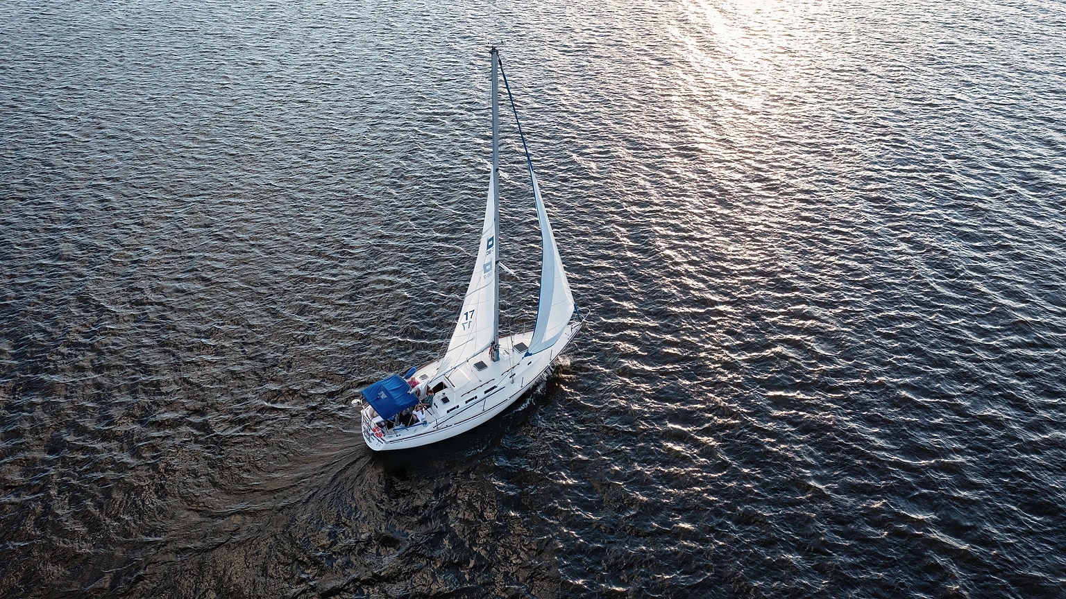
A sailboat's daily distance equals its average speed in knots multiplied by the hours it is actually making progress. One knot is one nautical mile per hour, so the arithmetic stays simple once you have an honest average. A boat averaging 4 knots for 8 hours would cover 32 nautical miles (4 × 8 = 32). A boat averaging 6 knots for a shorter 5-hour afternoon would cover 30 nautical miles, nearly the same distance in less time because its average speed was higher. If a boat averaged 5 knots continuously for 24 hours, the arithmetic result would be 120 nautical miles. Those are examples, not promises. The useful estimate must use the actual boat's average in comparable conditions and account for the safe route, course changes, current, weather, daylight, traffic, crew capability, maneuvers, and delays. Build an arrival margin and identify alternatives before departure. A boat's brief top speed, the number seen once during a good gust, is not a sound basis for deciding how far it can travel in a day.
"A day" can mean a daylight outing of six or eight hours or a full 24-hour passage with a night watch, so state the time before discussing distance. Then state what kind of speed you are using. Average progress over the ground, meaning your actual movement measured against a fixed point, answers the arrival question more directly than a peak through-water reading, which only shows the boat's speed relative to the water around it and says nothing about whether that water is itself carrying you forward or back. Finally, measure the route you can safely sail rather than the straight line that looks shortest on a small map. The calculation is simple. Choosing honest inputs is the navigational work.
How Do You Calculate a Basic Daily Distance?
Keep the units nautical: distance in nautical miles equals average speed in knots multiplied by time in hours, since one knot is defined as one nautical mile per hour. At a steady 4-knot average over 8 hours, the arithmetic is 4 × 8 = 32 nautical miles. At a steady 5-knot average over 24 hours, it is 5 × 24 = 120 nautical miles. A slower boat averaging 3 knots over a 6-hour afternoon covers 18 nautical miles, useful to know if you are comparing a short day sail against a longer passage.
Use these examples to understand the relationship, not to label every boat. Your own input should come from the vessel's record in similar conditions, supported by conservative local experience when necessary, never from the highest number you have ever seen on the speed display. A common mistake is plugging in the boat's best-ever burst of speed, reached briefly with a strong gust and flat water, and multiplying that single number by the whole day. Average speed, not peak speed, is the only input that produces a distance you can actually plan around. Include only the hours when the boat is expected to make the relevant progress, not the hours spent anchored for lunch or waiting out a squall.
Write down the assumption beside the answer. "32 nautical miles at 4 knots for 8 hours" is useful because another person can see what would change the estimate and can question any part of it. "This boat does 32 miles a day" hides the conditions and time, and it will mislead the next person who reads it, including a future version of yourself planning a similar trip in different weather.
Why Is the Real Route Longer Than a Straight Line?
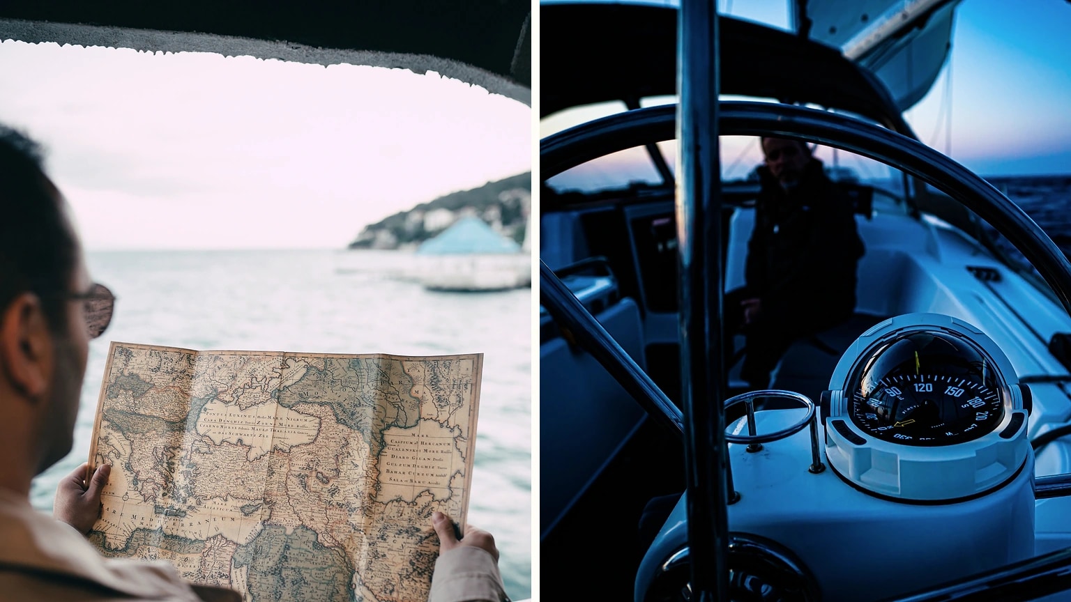
A direct line between departure and destination may cross shallow water, land, restricted areas, traffic routes, or other hazards. Sailing direction may also require a different track from the direct bearing, since a boat cannot sail straight into the wind and may need to zigzag to make progress toward a destination that lies upwind. Plot the safe route for the boat and conditions, then measure its legs rather than trusting the single straight bearing a chart app might draw by default.
Planned distance and distance actually sailed can differ. Course changes, avoidance of a hazard spotted late, weather, and navigational factors add movement that a straight-line estimate misses entirely. This is not a reason to abandon the calculation, only a reason to update it with the route you actually intend to follow, leg by leg, rather than trusting one number for the whole day.
Break a longer passage into meaningful points, places where you would naturally check progress against the plan: a headland, a buoy, a spot where the route changes direction. For each leg, note distance, constraints, and a place to review progress. If the boat reaches a point later than expected, the crew can compare the remaining time with daylight, conditions, and alternatives before the delay becomes urgent, rather than discovering the problem only at the final approach, when options are fewer.

How Do Current, Weather, and Daylight Change the Answer?
Current can help or reduce progress over the ground, and its direction and strength may vary along the route rather than staying constant for the whole passage. Use the appropriate current or tidal information in the passage plan, not a single figure assumed to hold for every hour. Continue checking actual progress so a forecast or prediction does not become an unquestioned assumption; a current that was expected to help can turn against you as the tide changes partway through the day.
Weather affects both speed and the suitability of continuing. Light wind may extend the trip by lowering the achievable average below the plan; stronger or less favourable conditions may require slower handling, a different route, or an alternative destination altogether. Crew capability and fatigue also affect what can be sustained safely, since a tired crew handling changing conditions late in the day makes different, more conservative decisions than a fresh one does at the start.
For a daylight trip, work backward from a conservative arrival time: pick the time you want to be secured at the destination, then subtract the hours the passage should take at a realistic average, not a best-case one. Include departure preparation, maneuvers, traffic, and likely pauses rather than multiplying every available minute by a best-case speed. For longer sailing, the boat and crew need an appropriate watch, rest, navigation, and contingency plan, since a 24-hour passage cannot rely on one person's continuous attention the way a short afternoon sail can.
How Much Arrival Margin Should You Keep?
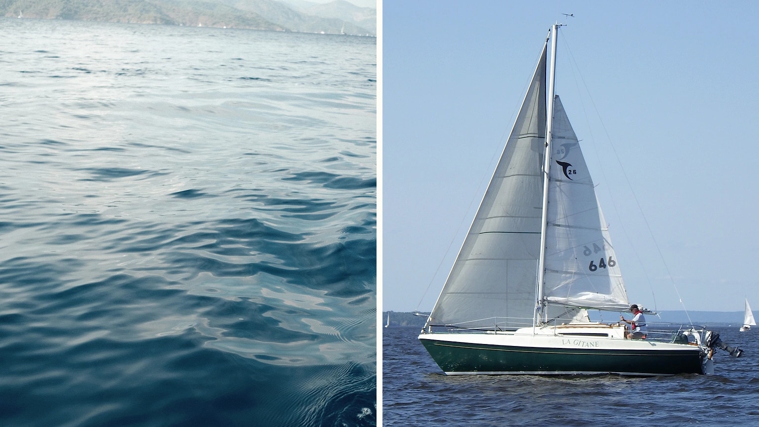
There is no single margin that fits every boat and passage. Choose one that reflects route difficulty, alternatives, daylight, forecast uncertainty, crew, and the consequences of delay, since a passage with an easy fallback anchorage needs less margin than one where the only safe option is the original destination. The plan should name the point at which you will turn back, divert, wait, or use another suitable option, decided calmly before departure rather than negotiated under pressure partway through the day.
Recalculate during the trip with actual average progress, not the number you planned with at the dock. If the boat is slower than planned, changing the estimate does not create more daylight. It tells you to use the decision points agreed before departure, the turn-back time or the alternative anchorage you already identified, rather than pressing on and hoping the average improves. Keep the crew informed so the alternative is a normal part of the plan rather than a surprise sprung on them late in the day.
An early arrival is usually easier to manage than a rushed final approach. Avoid spending the entire margin because the first legs went well; a fast start is not a guarantee the rest of the route behaves the same way. Conditions and traffic near the destination may still add delay, and the final approach, often the part with the most boat traffic and the tightest navigation, deserves enough time and attention rather than whatever is left over.
Use SailStarter's passage-planning lesson to build the route before applying the speed-times-time formula. Start with a familiar trip and obtain the chart, forecast, current information, daylight times, and local guidance appropriate to the area. Plot a safe route, measure its legs, choose a realistic average for the actual boat, and state how many sailing hours the plan assumes. Add alternatives and decision points, then compare predicted progress with what happens afloat. If you are still working out how to read the forecast itself, SailStarter's how to read a marine forecast covers the wind, wave, and timing details this calculation depends on.
Record the result for the next trip, including delays and route changes rather than only the best section; a logbook that only records good days teaches you little about your boat's real range. This creates a boat-specific planning history while reminding you that tomorrow's conditions may differ from today's. Daily distance is not a fixed specification like a tank capacity. It is the result of speed, time, route, environment, and crew, recalculated honestly every time one of those changes. Calculate it carefully, monitor it underway, and protect enough margin to make a safe change before the original destination becomes a deadline instead of a plan. SailStarter's guide to how fast sailboats go is a useful companion if you want to understand why average speed, rather than a boat's rated top speed, is the number that actually predicts your day.
Try it from the lesson
Can you spot the next move?
On a NOAA paper chart, you see buff, green, and blue close to shore. What does each colour mean?
Why you can trust this guide
. We build each guide from public seamanship and safety sources, then teach the universal principle before any local difference.