Chart your course
Sailing in Tidal Waters for Beginners
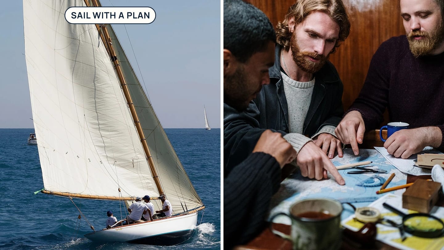
Quick answer
The short version
Sailing in tidal waters means planning for two related changes: water height and moving water. Tide height affects depth and clearance. Tidal current affects the boat's track and speed over ground. Check both with a current chart, suitable local tide and current information, the weather forecast, and a route that still gives you room if the water moves differently from expected. Start with short, familiar passages in mild conditions and build the habit before relying on it in a narrow or exposed place.
The word "tidal" does not automatically mean difficult. It means the sea is changing on a timetable that depends on the place. A small bay can be benign at one time and awkward later because depth, current direction, or wind against tide has changed. Good planning makes those changes expected rather than surprising.
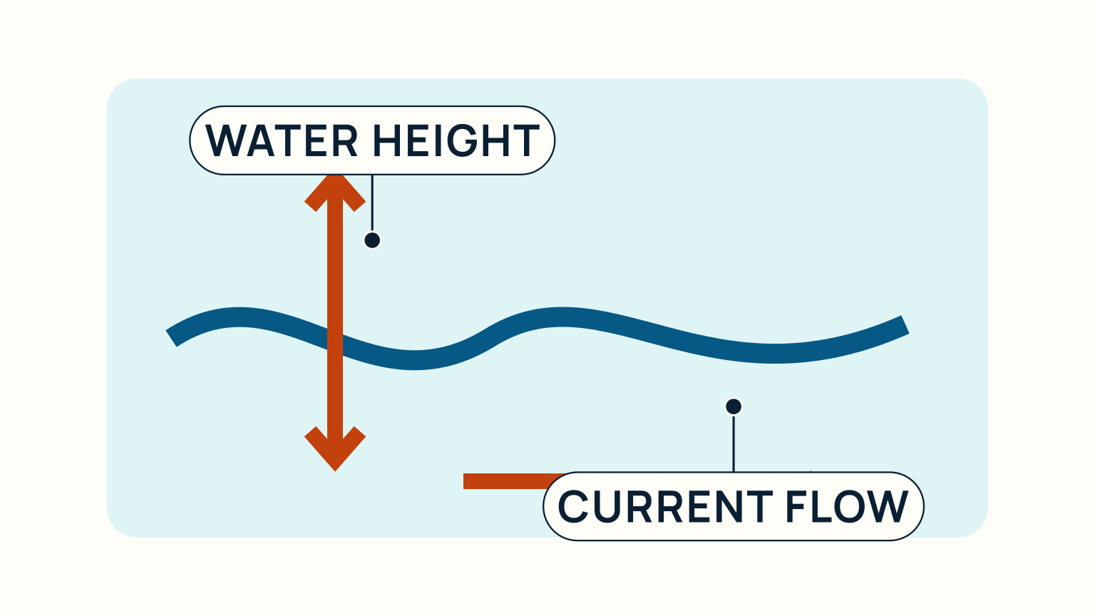
Keep water height separate from current
Tide height is the vertical rise and fall of water. It matters for the depth available over a shoal, at a berth, across a bar, or in an anchorage. A falling tide can leave less water under the keel and can strand a boat that was comfortable near shore earlier in the day. The relevant prediction is local, and its datum must match the chart information you are using.
Tidal current is horizontal water movement. In many coastal rivers, estuaries, and channels it follows a cycle of flood, slack, and ebb. Flood and ebb tell you the direction of moving water; slack is the weaker transition between them. The exact timing and rate depend on local geography, so do not assume that high water automatically means no current everywhere.
Write the two checks as separate lines in a passage plan. One asks, "Will there be enough depth?" The other asks, "What will this water do to our course and speed?" Combining them in one vague tide check is how a skipper can have adequate depth but arrive late, or have a fair current but lack clearance at the destination.
Understanding tide tables helps with the height part. Use an official or appropriate local source for the place you will actually sail, not a prediction for a distant reference port.
Plan the route with changing water in mind
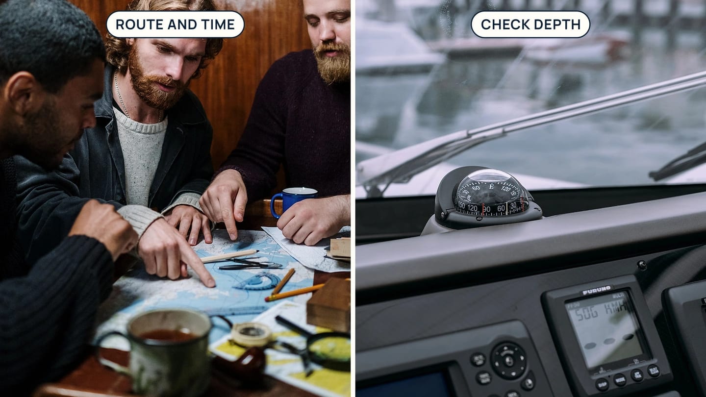
Start with a current nautical chart or electronic chart product for the area. It shows depths, hazards, shoreline, aids to navigation, and anchorages. Trace the intended route and look at every place where depth, a narrow channel, a headland, or a change of course could reduce your margin.
Then add the time. Estimate when you will reach each important point, including an allowance for slower progress, a detour, or a pause. Check what tide height and current are expected then, rather than only at departure. A route that is fine at the start may become shallow or current-affected by the time you reach its tightest part.
Keep an alternative. It might be a deeper route, a harbour, an anchorage, a turning point, or simply a decision to wait for a better tide window. An alternative is not a sign that the original plan was weak. It is what makes a plan useful when the day develops differently.
Use local notices, harbour directions, and current weather information as well as the chart. Regulations, buoyage, restricted areas, and official products vary by country and region. This article teaches the universal planning habit, not a substitute for local rules.
Watch how current changes speed and track
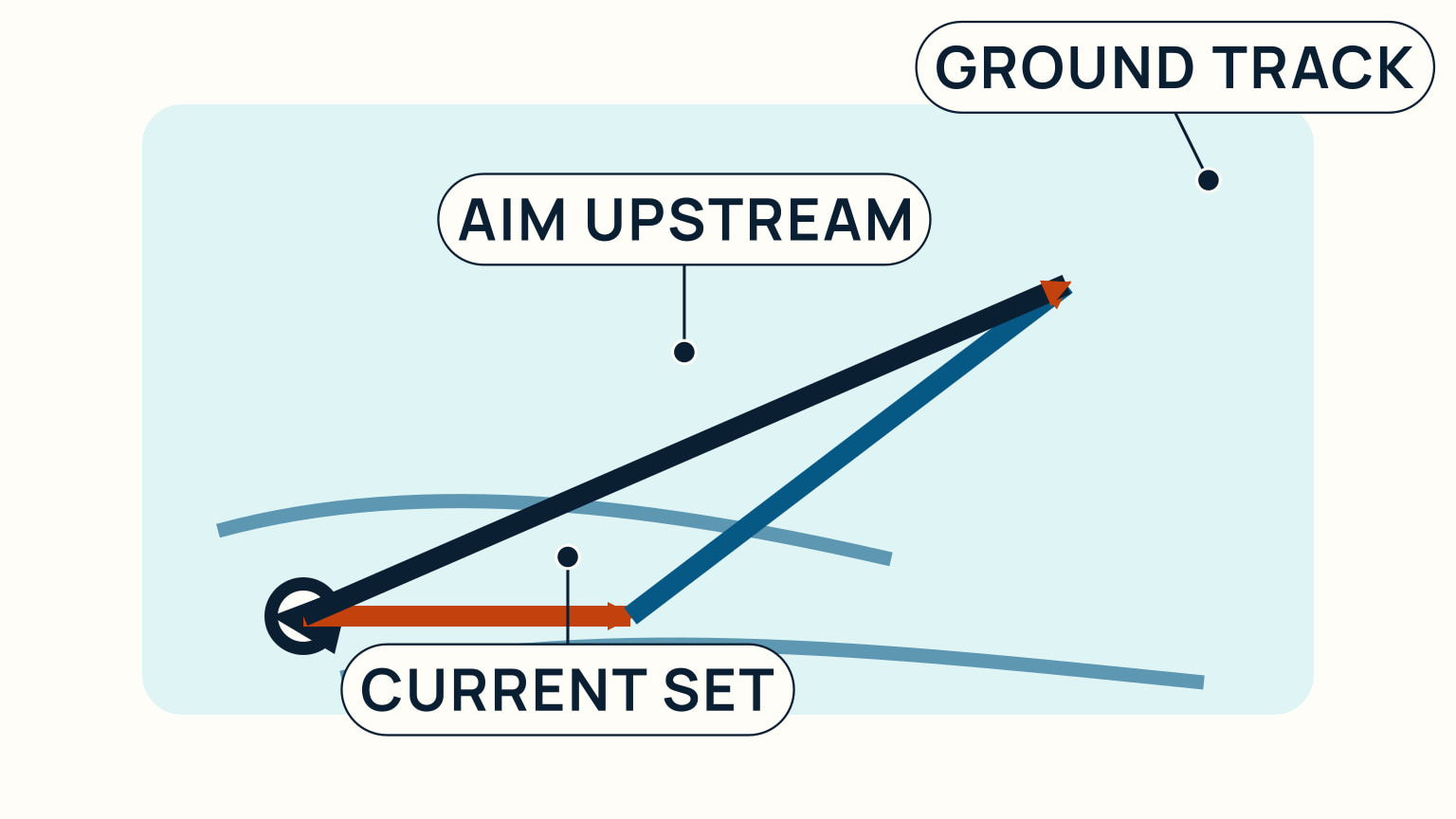
Current moving with the boat can increase speed over ground. Current moving against it can reduce speed over ground and, if strong enough, leave very little progress. Cross-current pushes the boat sideways so a heading aimed straight at a mark may produce a track down-current of it.
Use the language of set and drift. Set is the direction current flows toward, and drift is its rate. When you can name those two things, you can decide whether to aim off, alter departure time, or choose a different route. Watch your heading and course over ground, then correct early if they are separating more than expected.
Look outside as well as at a display. Water movement around a buoy, a changing transit, streaks, floating debris, and wave pattern can indicate current. None is a substitute for current data, but each can warn you that the real water deserves attention. A chartplotter is useful for comparing plan and track, yet it is not a reason to stop observing.
For the practical correction, how to calculate course to steer shows the vector idea behind aiming upstream of a destination. On a short beginner passage, you may only need to notice and correct. The geometry becomes more useful as routes get longer or currents stronger.
Treat wind against tide as a change of conditions
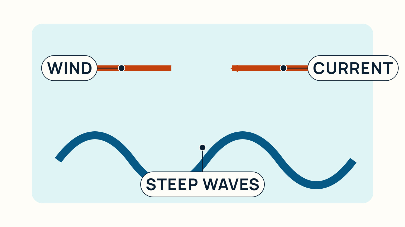
Wind and current moving in opposite directions can make waves shorter and steeper. The effect is often strongest where current is concentrated, such as a narrow entrance, headland, or channel. A route that looked comfortable from a distance can become rough enough to reduce control and confidence.
Check the forecast against the predicted current direction for the time and place you will be there. If the wind will oppose a strong stream, consider a different departure time, route, or destination. Do not assume a forecast wave height tells the whole story when the current changes the sea state locally.
Use a safe speed and keep a wide margin near hazards. In rougher water, the boat may make less progress, the crew may tire, and small errors in track can grow quickly. Make the decision while you can still turn back or wait, not after entering the narrowest water.
Tidal sailing rewards patience. Waiting for a fair current or calmer combination of wind and tide can make a passage shorter, smoother, and easier to manage. The best tide window is the one that fits your boat, route, crew, and current conditions.
Build confidence in small steps
Choose a familiar area for early tidal passages. Plan a short loop with generous depth and clear alternatives. Note the predicted tide and current before leaving, then compare the actual times, water movement, and speed over ground with your expectation. Review the difference after returning.
Go with people who know the local water when possible. Ask which information sources they use, where the current begins to matter, and what they treat as a no-go condition. Their local knowledge complements, rather than replaces, your own chart and forecast checks.
Keep the boat ready for a change of plan. Fuel, anchor readiness, communications, warm layers, and a reliable route back all make it easier to choose caution. In tidal water, a small delay can create a different problem later, so give yourself more time than a non-tidal estimate suggests.
The practical habit is simple: check height, check current, check weather, and look again while under way. Set and drift explained is a useful next read when you want to turn those observations into more precise course corrections.
Tidal waters become manageable when you treat them as moving conditions to plan around. Separate depth from current, time each important part of the route, watch the real water, and keep enough margin to wait or change course.
Before the first few trips, make the plan easy to review with the crew. Write departure, turning points, expected tide state, current direction, depth-sensitive areas, and alternate shelter in plain language. During the trip, compare the notes with the real water rather than saving the review for the end. This builds a direct link between a prediction and an observation. With practice, a changing track or a different wave pattern becomes a prompt to check the plan rather than a surprise that arrives too late.
Tidal planning also benefits from a conservative turnaround time. Choose a point before the trip where you will decide whether the plan is still working, based on depth, weather, current, crew comfort, and time remaining. If the answer is no, turn toward the planned alternative while the water and daylight still give you options. This prevents a small delay from becoming pressure to continue through the least forgiving part of the route.
After each trip, compare predicted and actual conditions. Record when the current became noticeable, whether depth matched expectations, and how wind altered the waves. Local experience is valuable because it is tied to a real place and day. It should sharpen your next plan, not replace the current official information that conditions and notices can change.
Try it from the lesson
Can you spot the next move?
You steer a heading straight for a can buoy dead ahead, with a 2-knot stream pushing across your port beam. After an hour holding that heading, are you at the buoy?
Why you can trust this guide
. We build each guide from public seamanship and safety sources, then teach the universal principle before any local difference.